3D Laser Scanner.
-
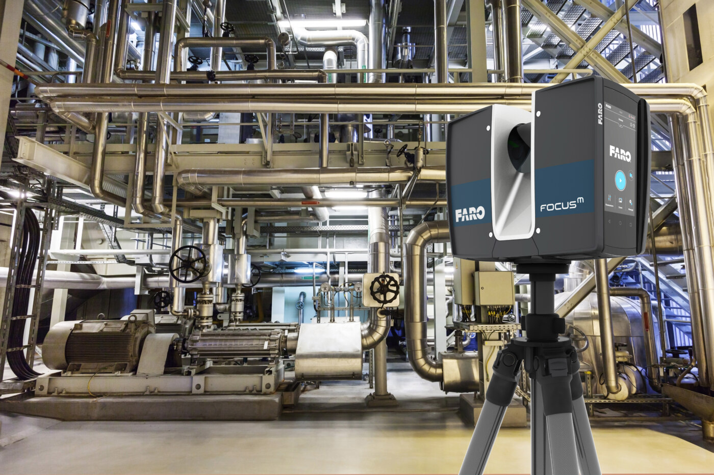
Speed and accuracy - 3D laser scanning is much faster than other methods of assessment. The scanning will likely take half as much as it could take using traditional methods. The laser scanner produces millions laser points per second and then obtains very specific details of the scanned object, as well as shapes and forms, with precision accuracy up to 1 mm.
-
Security - Setting up a series of lasers to send beams of light into hazardous areas helps keep employees secure, and it allows a company to send its teams the message that it values their workplace safety and well-being.
-
Immediate 3D modeling – collected data in a format of Point Cloud can be presented almost on the spot. The scanned data can then be converted digitally to three-dimensional products such as fully textured models, plans, and elevations.
-
FARO focus 3D laser is a system that measures the distance from the scanner to the surface of the object at high speed (several thousand to one million dots per second) and then records the relevant directions (vertical and horizontal angles) in the form of a Point Cloud.

LIDARUSA 3D laser Scanner attached to UAV.
-
Complete information is obtained about the required area (relief, heights, valleys, etc.)
-
Data from large areas, or areas inaccessible to humans, are collected quickly
-
High accuracy is achieved
-
The collected data can be used to obtain the desired results (mapping, 3D modeling, location of relevant objects, etc.)
-
LIDAR (a light and radar device, also abbreviated to "Light Detection and Range") is a distance measurement and imaging technology that uses light pulses in the form of a laser beam. These light pulses are usually reflected back by the object under measurement. The LiDAR sensor measures the time it takes for the reflected light pulse to return and thus calculates the distance between the object and itself. Thus, it prepares a three-dimensional image of the object based on the impulse points it emits.
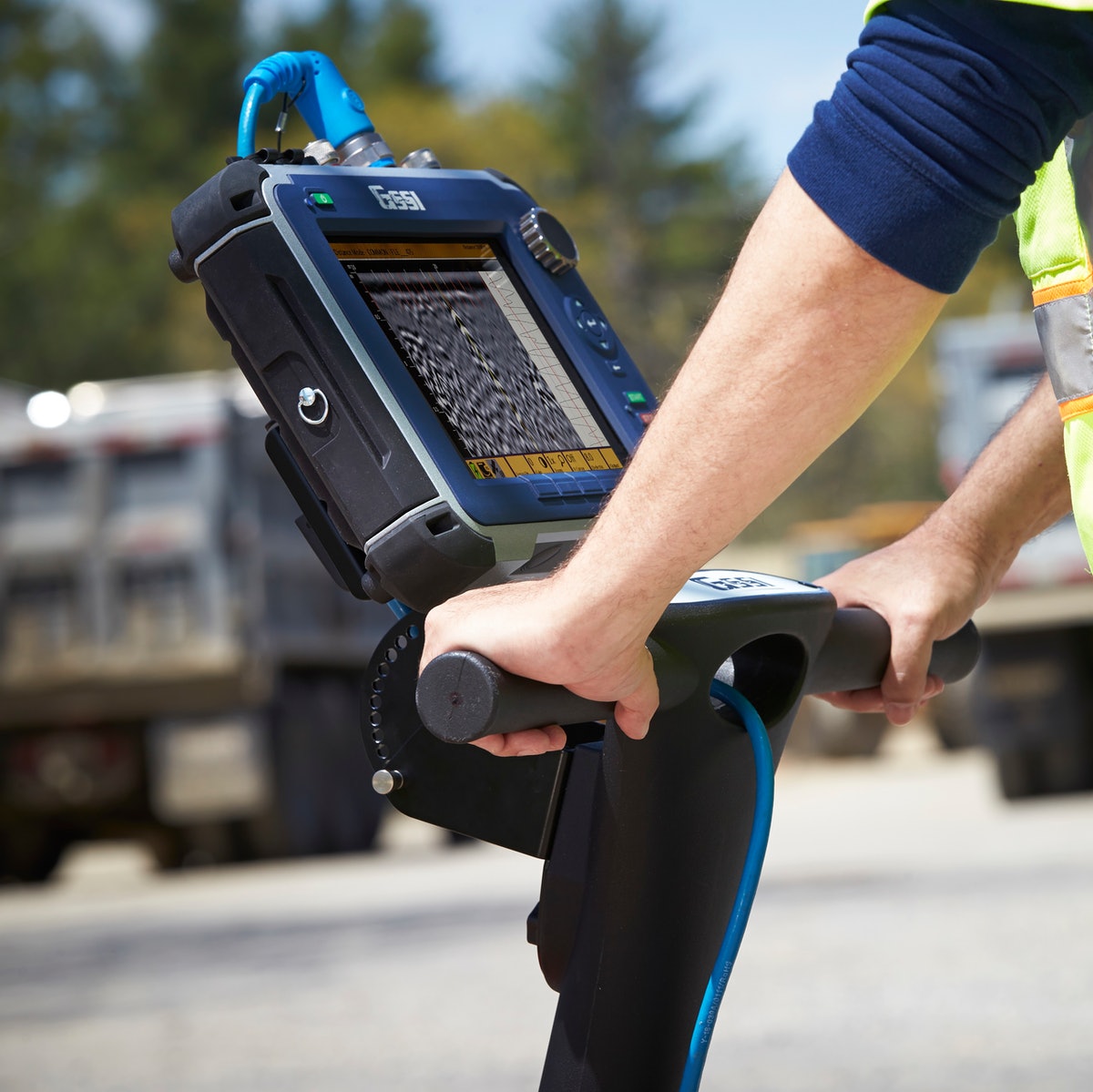
GPR (GROUND PENETRATING RADAR).
-
Helps to identify underground communications,infrastructure, soil layers and groundwater
-
Collects data independently of different ground coverings
-
Assists in the preparation of an underground 3D map based on the collected information

Dry Roof Pro 2 .
Su sızıntısı baş verən lokasiyaların təyin olunması üzrə Spark test metodu bərpa işlərinin sürətlənməsi və xərclərin azadılması üzrə əvəz olunmaz rol oynayır.Buckley’s şirkətinin istehsalı olan Dry Roof Pro 2 spark test cıhazı 2.54 sm. qalınlıqa gədər müxtəlif tipli Bitum və membran örtuklərinin sızıntıya qarşı diagnostika olunması üçün nəzərdə tutulub.
Cihazın üstünlüyü ondan ibarətdir ki, böyük obyekt, hovuz və sahələrdə baş verən sızıntı lokasiyalarını dəqiqliklə aşkər olunmasını sürətləndirir, diagnostika və təmir xərclərini dəfələrlə azaldır. Bu cıhazın tətbiqi ənənəvi su testi metodundan istifadəni aradan qaldırır. Diagnostika zamanı üzərində iş aparılan obyektə heç bir mexaniki ziyan vurulmur, cıhazın istifadəsi üçün üzərində iş aparılan sahə mütləq qaydada quru formada olmalıdır.
Dry Roof Pro 2 cıhazının iş prinsipi izolasiya örtüklərində baş vermish çat, dəlik və sair kimi defektlərin aşkərlanması üzrə diagnostika zamanı problemli sahələrdə yuksək gəlginlikli elektrik qövsu yaratmaqa əsaslanır.Aşkərlanmış lokasiyalar xüsusi markernən işarələnir və müştəriyə təhvil verilir.
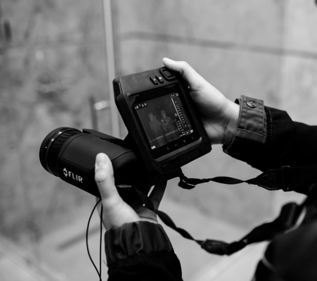
FLIR T 540 .
Flir T 540 Termal kamerası vasitəsi ilə obyektlərdə termografik skan işlərinin aparılması və problemli lokasiyaların aşkərlanması mümkündür.
Infro-qırmızı termografik skan metodu ilə obyekt daxilində su sızıntısı baş verən lokasiyaların episenterinin təyin olunması, isti döşəmə trassasının aşkərlanması, döşəmə, divar və tavanda termoisolasiya işlərinin diagnostikası, obyekt xaricində fasad hissənin termodiagnostik metodla yoxlanılması ishləri həyata kechilirir.
Görülmüsh işlər nəticəsində problemli zonalar asanlıqla təyin olunur,xüsusi proqram təminatı vasitəsi ilə skan olunmuş hissələri RGB rəng formatında və termospektrografik gorüntüləri yaradılaraq müştəriyə təqdim olunur.
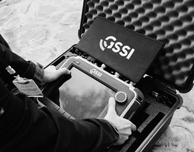
GRP və structure scan .
GSSI SIR 4000 ve 2GHz palma antena vasitəsi ilə obyektin struktur skan işləri həyata keçirilir bu zaman döşəmə, divar və digər tavan daxilində mövcüd boşluqlar, aktiv və passiv kabellər, su və qaz xətləri, armatur birləşmələri və başqa obyektlər 15-20 sm. dərinlik diapazonunda yüksək dəqiqliklə təyin olunur.
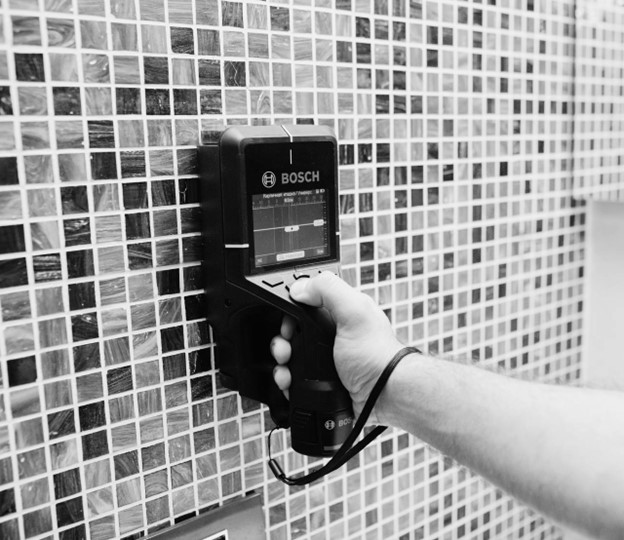
Bosch Pro detector 200 C .
Döşəmə, divar və tavan daxilində aktiv passiv elektrik xətlərinin və metal tərkibli boruların aşkər olunması üzrə tətbiq olunur, obyektlərin optimal təyin olunma dərinliyi 15 sm. təşkil edir.